
Pipeline Inspection
Detection is only as good as its weakest section. CHARM® verifies coverage live in flight – as the certified airborne step of Type 2 underground inspection, no section is left below standard, and every kilometre holds up to scrutiny.
A 25-Metre Scan, Not a Line of Points
Underground emissions don’t surface directly above the leak. Gas travels through the soil and the plume widens before it reaches the surface – so a single line of measurements along the pipeline misses most of it. CHARM®’s scanning imaging LiDAR captures an entire 25-metre-wide strip along the route, covering the full area where an emission can surface, on both sides of the line.
Within that strip, CHARM® takes over 1,000 measurement points per second, each with a detection limit below 10 ppm·m. The scanning optics actively track the pipeline in flight, compensating for aircraft motion to keep every point precisely positioned. The result is a dense, georeferenced grid – localised to better than 2 metres – not a sparse string of readings.
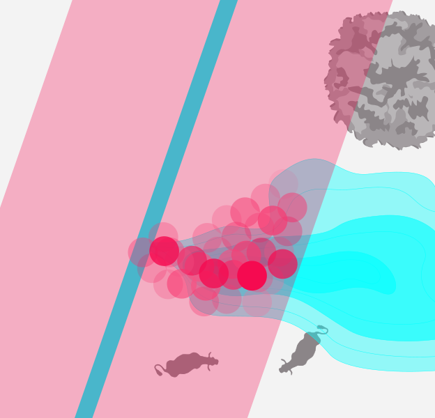
Delivering Type 2 Certified precision, high spatial resolution scanning, and guaranteed full-area coverage across every project.


Accuracy, Precision, Coverage
With georeferenced localisation accurate to better than 2 m, every finding is precisely mapped and traceable. Automatic plume recognition detects relevant emissions in real time, while intelligent discrimination algorithms reliably filter out non-relevant findings – reducing false alarms and focusing attention where it matters. The result: efficient, accurate, and fully certified pipeline inspection you can rely on.

With more than 12,000 kilometres of pipeline, there’s no room for surprises. That’s why we helped develop the technology back then and continue to use the CHARM® service today. I’m familiar with the methodology and all the details; I know how it performs in real-world operations – and I can evaluate the results for myself. It’s not a black box – it’s results I can rely on.

Let’s map your path to compliance